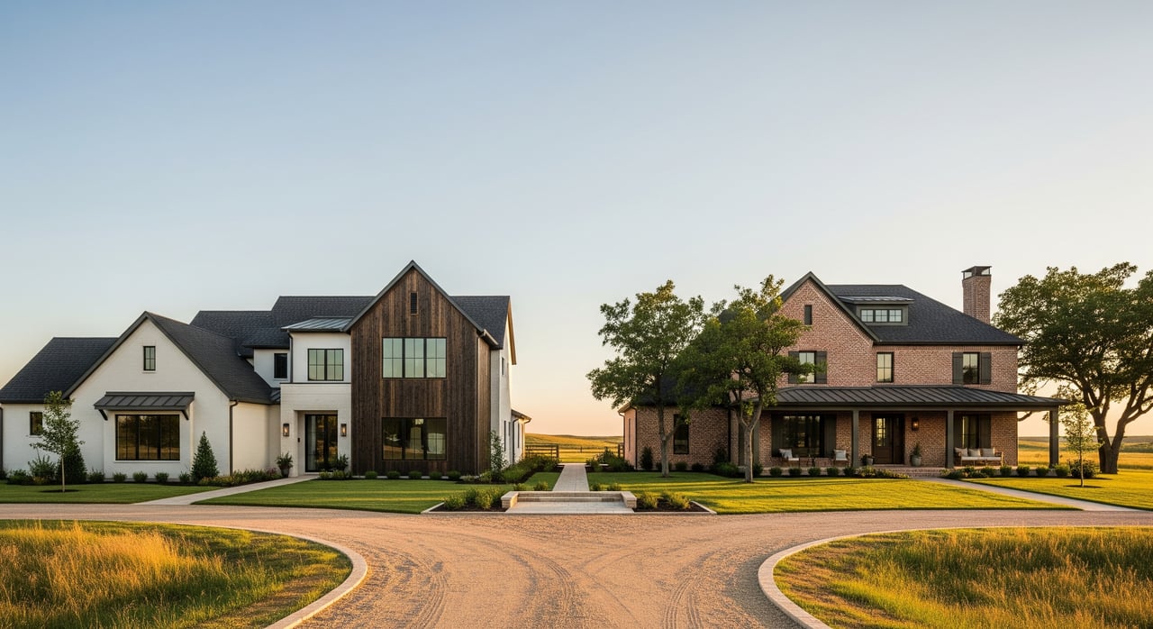
Ever wonder how your daily drive will feel before you pick a home in Southwest OKC? When you know your routes and peak patterns, you can plan smarter and save time every week. This guide walks you through the most common commutes from Southwest Oklahoma City to Downtown, Will Rogers World Airport, and the Tinker AFB corridor, plus tolls, transit, and planning tools. Let’s dive in.
How Southwest OKC moves
Southwest OKC sits south of I‑44 and I‑240, between central Oklahoma City and the H.E. Bailey Turnpike corridor. You’ll rely on key arterials like SW 59th, SW 29th, May Ave, Portland Ave, and S Western Ave, along with I‑44, I‑240, I‑35, and I‑40 for cross‑city trips.
Morning inbound traffic toward Downtown is busiest from about 6:30 to 9:00 a.m., with evening outbound from about 4:00 to 6:30 p.m. Interchanges at I‑35/I‑240/I‑44 and the I‑40/I‑240 junction see recurring slowdowns. Off‑peak and weekends are usually free flowing, but construction or crashes can change things quickly. Always check live conditions before you go.
Downtown OKC: best routes and times
Route options
- I‑44 northeast to I‑35 north into Downtown. Often the quickest in light traffic from many southwestern neighborhoods.
- I‑240 east to I‑35 north into Downtown. Helpful if you live farther south and want to avoid some I‑44 merging.
- Surface streets via May Ave, SW 29th, or SW 59th, then northbound arterials. Useful when the freeway backs up, though usually slower.
Typical drive times
- Off‑peak: about 12–25 minutes for many homes 6–12 miles from Downtown.
- Peak hours: often 20–40 minutes, longer with incidents.
Peak patterns and pinch points
- I‑35 approaches to Downtown and the I‑40/Downtown splice back up regularly.
- Merging at I‑44/I‑240 can stack up during rush hour.
- Arterials slow near signal clusters and shopping areas.
Will Rogers World Airport: quick trips and tips
Route options
- Local arterials like SW 59th or SW 74th connect many Southwest OKC neighborhoods directly to airport access roads.
- Short hops on I‑44 or I‑240 can work if you are already on the freeway.
Typical drive times
- Off‑peak: roughly 8–20 minutes from much of Southwest OKC.
- Peak or heavy travel days: 15–30 minutes or more.
Peak patterns and pinch points
- Expect congestion at airport entrances during holiday peaks and morning/evening flight banks.
- Construction or incidents on adjacent freeways can add delays. Check airport parking and ground updates on the Will Rogers website before you leave.
Tinker AFB corridor: cross‑city strategy
Tinker AFB and its employment corridor lie east and southeast of Downtown in Midwest City and Del City. From Southwest OKC, you will cross or bypass Downtown using southern loops.
Route options
- I‑240 east to I‑40 east toward Tinker. This southern arc is the most common freeway route.
- I‑44 toward Downtown to I‑35 or surface connections east. Can work from certain origins, but often sees more Downtown traffic.
- Long surface arterial routes are possible, yet typically slower.
Typical drive times
- Off‑peak: about 20–35 minutes from many Southwest OKC origins.
- Peak hours: commonly 30–50 minutes, sometimes longer.
Peak patterns and pinch points
- Ramps and bridges near SE OKC/Midwest City and the I‑40/I‑240 interchanges see recurring congestion.
- Eastbound mornings toward Tinker and westbound evenings leaving the corridor are directionally busy.
Tolls and parking basics
- Tolls: Most daily commutes within city limits to Downtown, the Airport, or Tinker do not require turnpikes. The H.E. Bailey Turnpike serves southwest‑to‑Lawton travel and some farther suburbs. For transponder details and rates, review PikePass guidance from the Oklahoma Turnpike Authority.
- Downtown parking: Metered streets, municipal garages, and private lots vary by location and price. Check policies with your employer or garage ahead of time.
- Airport parking: Will Rogers World Airport posts current lot maps and rates. Confirm availability on the airport site before peak travel.
- Tinker area parking: On‑base parking is common for authorized personnel. Private employers around the corridor vary by building and lot.
Transit and park‑and‑ride options
Oklahoma City’s transit agency, EMBARK, runs bus routes and limited commuter services with downtown transit centers. Some commuters combine neighborhood driving with park‑and‑ride to avoid downtown parking costs.
- Check current routes, park‑and‑ride locations, and schedules directly with EMBARK.
- Availability and hours can change. Confirm lot capacity, any fees, and whether your route connects directly to your workplace.
How to choose a neighborhood by commute
Use this checklist to compare options side by side:
- Drive times to your primary destinations at three windows: morning peak (7–9 a.m.), evening peak (4–6:30 p.m.), and off‑peak. Test with a live navigation app on a typical weekday.
- Route backup plans. Identify at least two reasonable routes and note any single‑point failure spots like major interchanges or bridges.
- Transit access. Distance to the nearest EMBARK stop or park‑and‑ride, frequency during commute hours, and whether transfers are required.
- Costs. Fuel, any tolls, and parking. Ask your employer about parking or transit benefits.
- Reliability. How much does the time vary day to day? Consistency often beats a slightly shorter but volatile route.
- Road and sidewalk conditions. If biking or walking is a goal, check for continuous sidewalks and bike lanes on your key corridors.
- Daily life balance. Consider proximity to childcare, grocery, and activities relative to your commute.
Sample commute snapshot template
Use this quick template while touring homes:
- Home address or neighborhood:
- Downtown OKC drive times: AM peak ___ / PM peak ___ / Off‑peak ___
- Will Rogers Airport drive times: AM peak ___ / PM peak ___ / Off‑peak ___
- Tinker AFB corridor drive times: AM peak ___ / PM peak ___ / Off‑peak ___
- Primary route(s): ___ and ___
- Backup route(s): ___
- Tolls likely: Yes / No (notes: ___)
- Transit nearby: Stop or park‑and‑ride at ___; frequency ___; direct or transfer ___
- Parking: Employer or building parking ___; downtown cost estimate ___
- Notes on variability or construction: ___
Smart planning tools and updates
- For live traffic maps and construction alerts, use the Oklahoma Department of Transportation resources. Start with the ODOT site and check current advisories.
- For bus routes, park‑and‑ride lots, and service changes, review EMBARK’s route maps and schedules.
- For airport parking and ground transport advisories, use the Will Rogers World Airport site.
- For gate access rules and on‑base commute guidance, review official updates from Tinker AFB Public Affairs.
- For toll details and PikePass information, consult the Oklahoma Turnpike Authority’s PikePass site.
- For regional commute statistics and context, see the U.S. Census Bureau’s commuting topic page.
Links for quick reference:
- Oklahoma Department of Transportation (traffic and projects)
- EMBARK transit (routes and park‑and‑ride)
- Will Rogers World Airport (parking and ground transport)
- Tinker AFB Public Affairs (base updates)
- PikePass by Oklahoma Turnpike Authority (toll info)
- U.S. Census Bureau on commuting (regional context)
Putting it all together
Your daily drive is part of your lifestyle. When you compare homes in Southwest OKC, test routes at real commute times, build a backup plan, and factor in parking and costs. A little planning can save you hours each month and reduce stress.
If you want help matching neighborhoods to your workday rhythm, reach out. Our team knows the tradeoffs between routes, timing, and day‑to‑day life across the OKC area. Start the conversation with Allison Wanjon and let’s find the right fit.
FAQs
What are typical Downtown drive times from Southwest OKC?
- Off‑peak often runs 12–25 minutes for many neighborhoods, while rush hour commonly stretches to 20–40 minutes depending on incidents and your exact starting point.
Do I need a turnpike for daily Southwest OKC commutes?
- Usually no. Trips to Downtown, the Airport, and Tinker often use city freeways and arterials. The H.E. Bailey Turnpike applies mainly to southwest‑to‑Lawton or farther‑out travel.
How long is the commute from Southwest OKC to Tinker AFB?
- Plan for about 20–35 minutes off‑peak and 30–50 minutes at peak, with directional congestion toward Tinker in the morning and outbound in the evening.
Is there park‑and‑ride from Southwest OKC to Downtown?
- EMBARK operates bus routes and park‑and‑ride options that can connect to Downtown. Check EMBARK’s current route maps, locations, and schedules for specifics.
When should I test a commute before choosing a home?
- Drive the route on a typical weekday during your expected morning and evening windows. Repeat at least twice to gauge variability and check ODOT updates for construction.